property

Property overview including plans

Building on the property’s own characteristics and assets, the aim is to create residential sites using natural on-site materials, merging ecological health with physical health for its visitors, supporting creativity and the human soul.

Permacultural Design of Property

The slideshow below presents my own permacultural design and plans for the property which have been developed for over twenty years through on-site residence, observation and investigation.
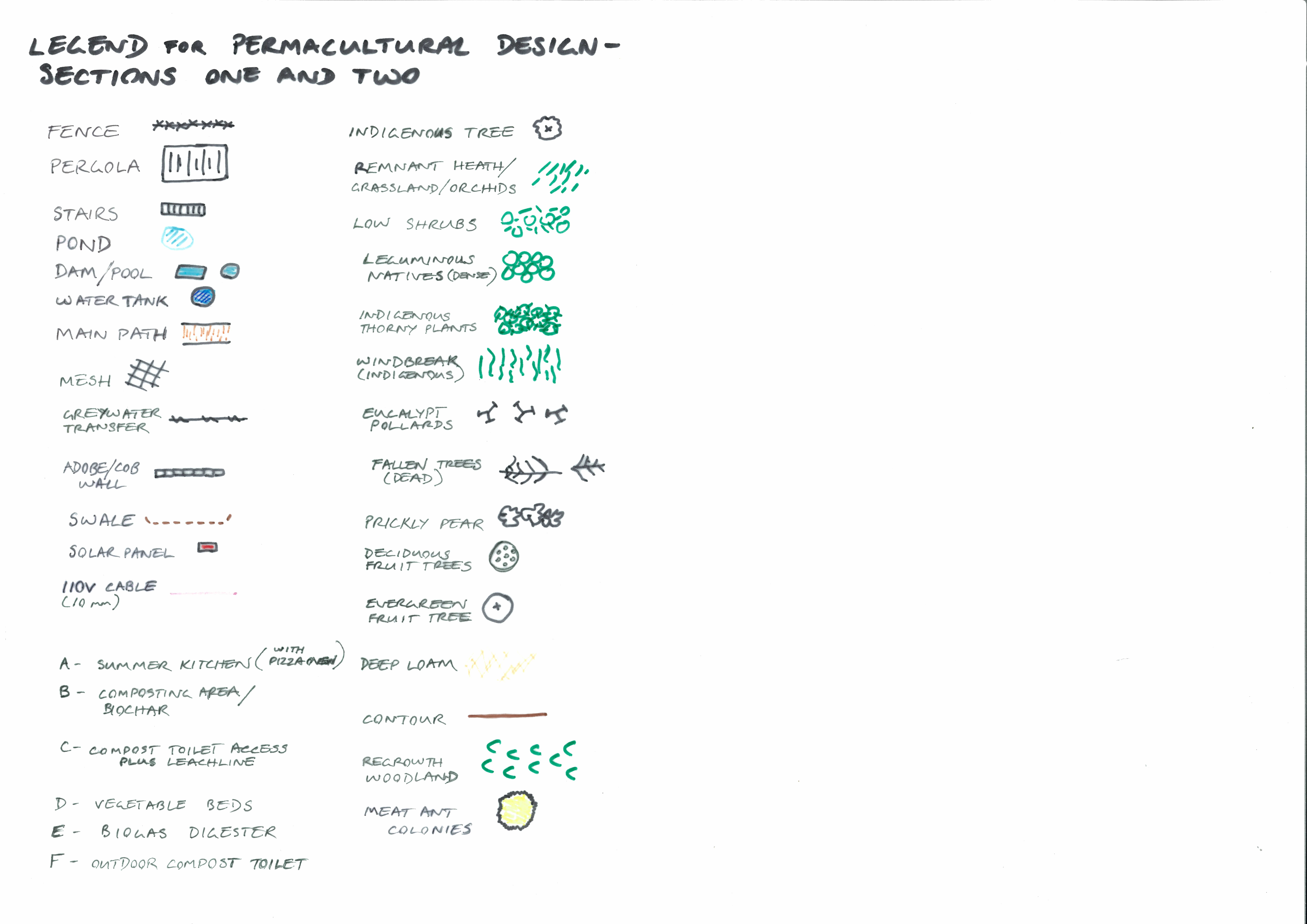
Slide 1

The property is 280 metres wide and 400 metres deep with its own small valley. On account of its undulations and tree cover, one experiences isolation and separation from the rest of the world.

Slide 2

This image shows the topography with plans for the core permaculture project, which is located in the very centre of the property. Various natural characteristics of the location make this this the optimal site, utilising an already present degradation and compaction caused during the property’s previous use for sheep grazing and timber harvesting.

Slide 3

A more highly detailed plan of zone 0 of the permaculture design. The natural characteristics of the site create a more favourable split into two slightly separated sections, one around zone 0 (section 1) and another with deeper soil and water catchment for a more extensive orchard and main vegetable garden (section 2).

Slide 4

Shown here is the plan for section 2 – which is a much more structurally simple site than section 1. Adjacent to section 2 is an already present habitation site with caravan, overhanging roofed areas, water tanks and a shed.

Slide 5

The permacultural zone structure, which overlays section 1 as seen in slide 3. .

Slide 6

The sector analysis shown here indicates the interaction of natural energy centred on zone 0 of section 1. In this case this analysis is the product of twenty years of observation, planting experimentation and short-term habitation. It is worth noting that the intact woodland covering the entire area to the west of the site creates shade during the entire late afternoon and evening over the whole year.

Slide 7

Sector analysis and zoning structure are integrated in this plan for section 2. It is worth noting that the entire area to the west of section 2 is intact woodland higher than section 2 itself, and that section 2 has direct access to the water catchment small headwater valley to its east. Water inflow and outflow here are the result of very specific variations in the undulations of the complex landscape here.